Transform your passion into a profession
Join our veterinary program which has a reputation for excellence since the first class graduated in 1979.
Training the next generation of veterinarians
We value the provision of an integrated and balanced educational experience that empowers our graduates.
Welcome to the School of Veterinary Medicine
Since the graduation of our inaugural class in 1979, our free-thinking, inclusive ethos has underpinned our mission: to promote and integrate the health, welfare and productivity of animals and people through partnership in education – empowering graduates’ lifelong professional success; research – engaging industry and government in impactful discovery and innovation, and; clinical service – advancing excellence in veterinary science through leadership in the community and the profession.
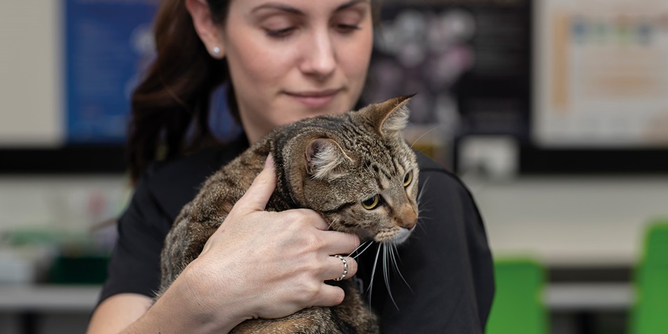
With integrity and excellence at the heart of our vision, our staff and students passionately promote the health, welfare and productivity of pets and animals, big and small. Our students also receive training in wildlife, exotic pet and conservation medicine.
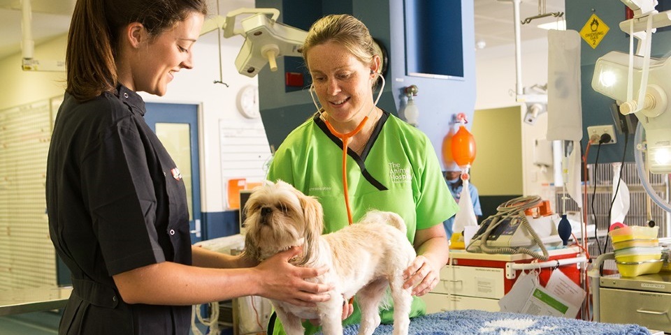
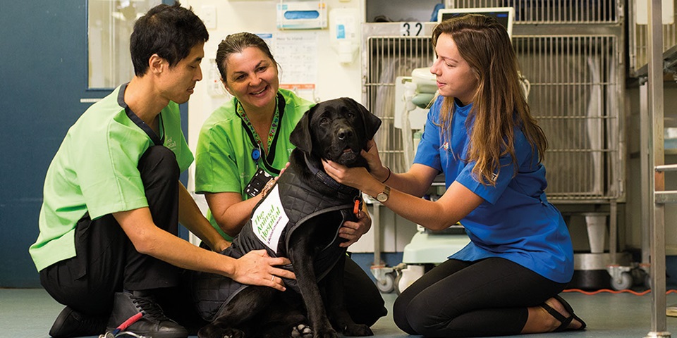
Learn real-world skills in our state-of-the-art facilities that include veterinary teaching hospitals, clinics and a working farm all located on the Perth campus.
Find out more about veterinary science at Murdoch University.